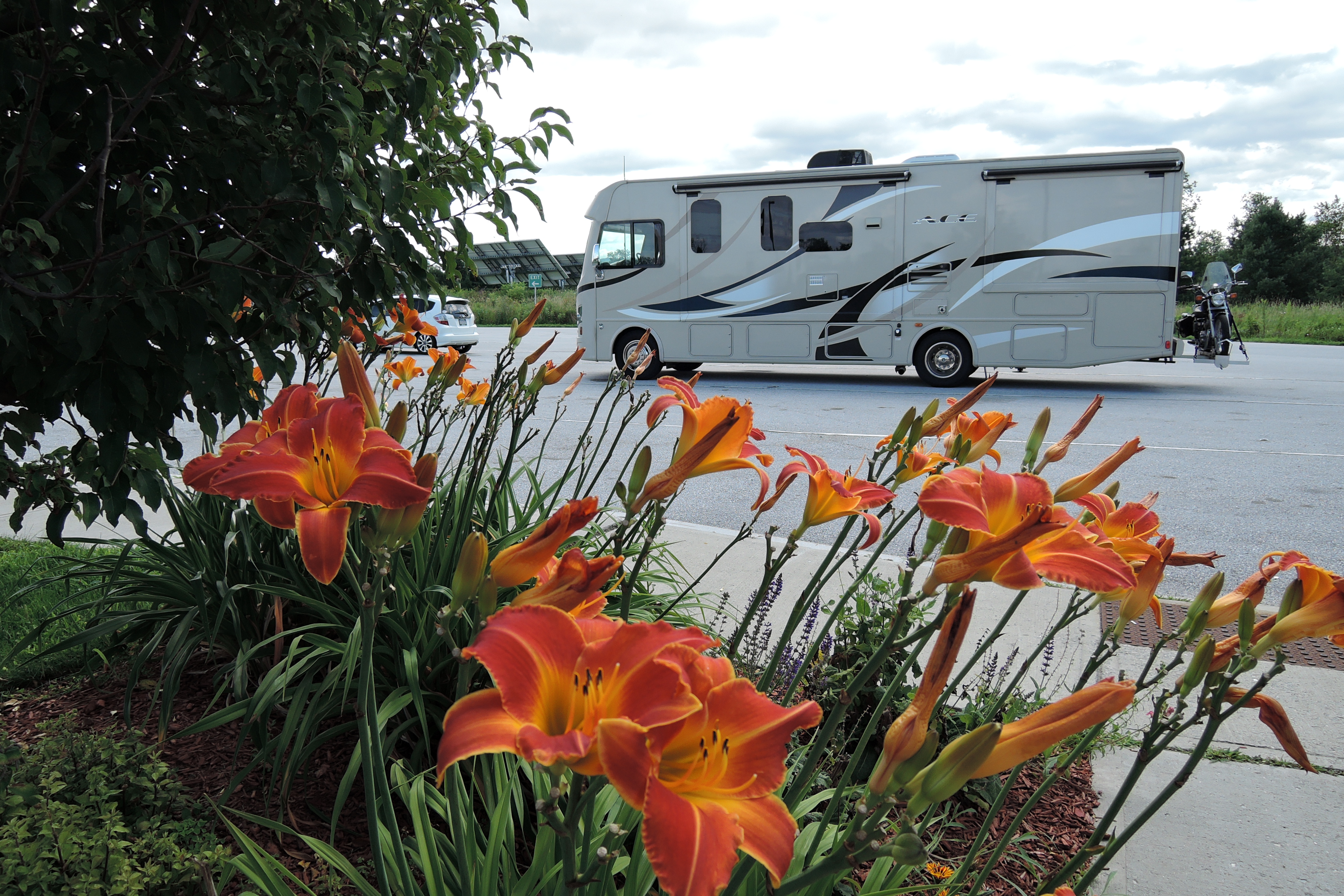
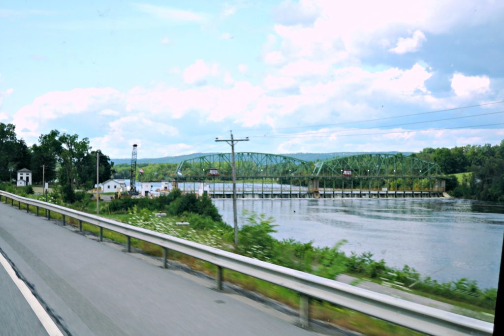
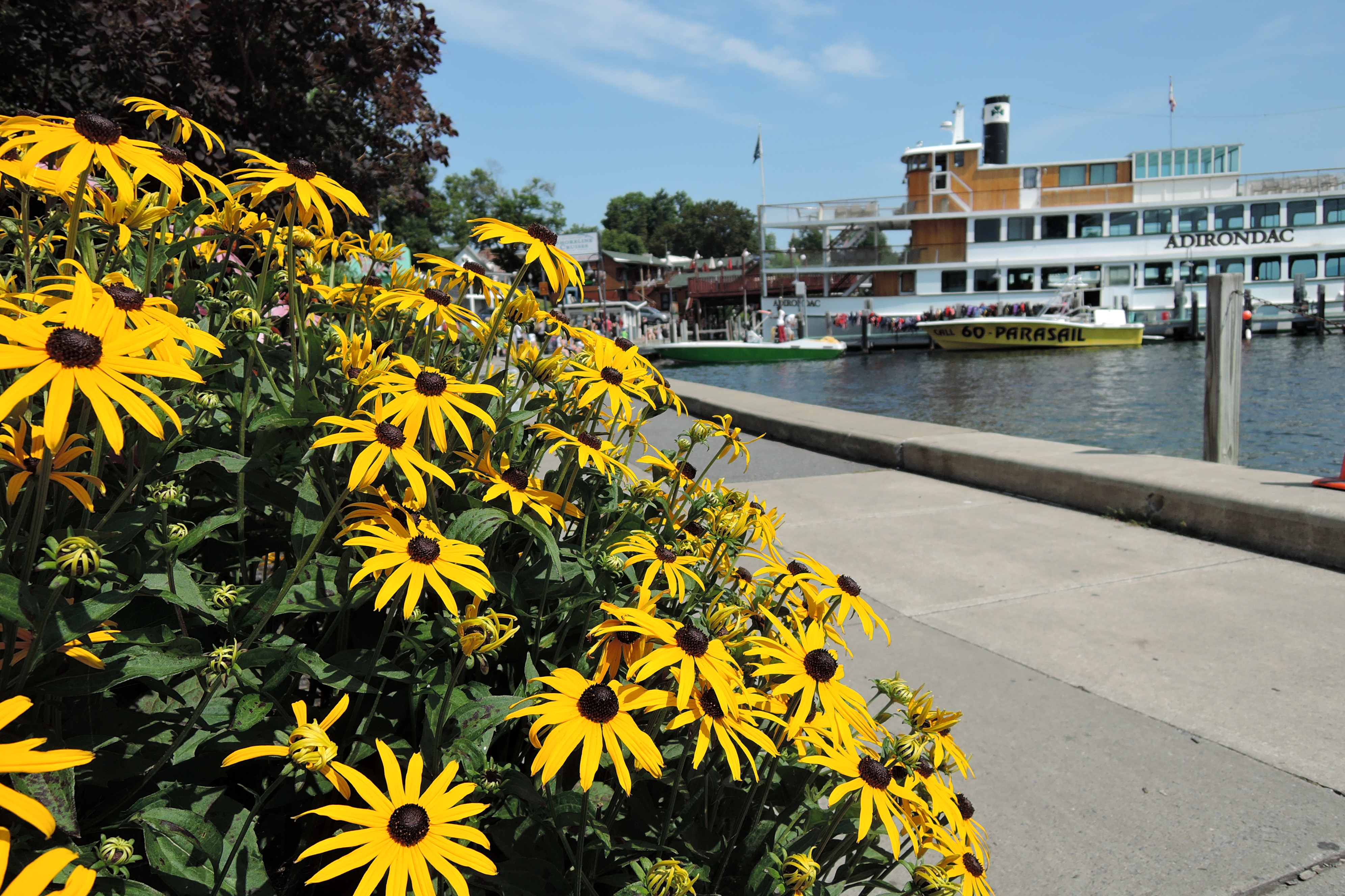
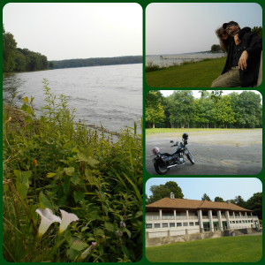
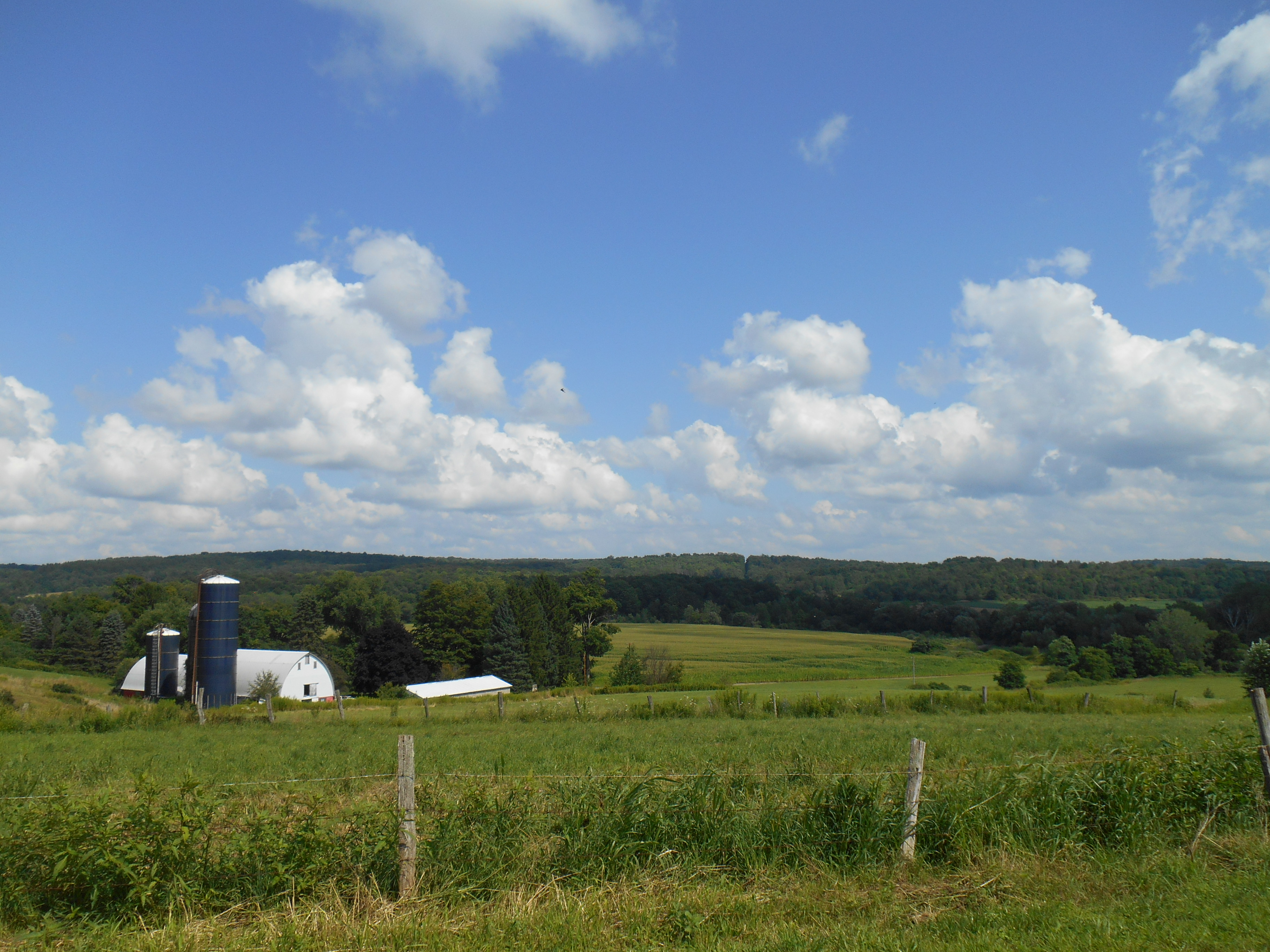
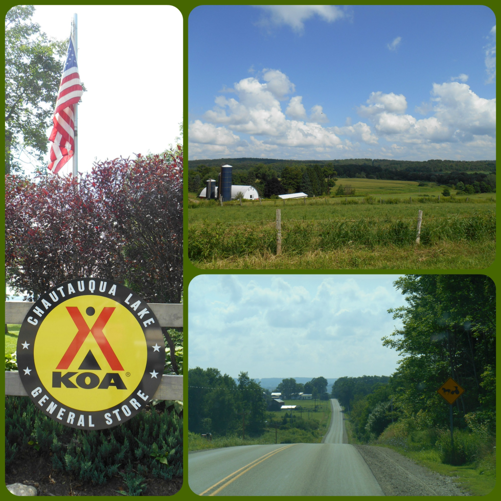
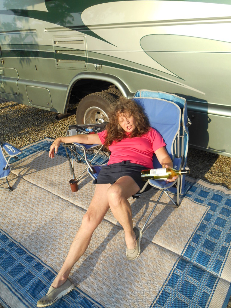
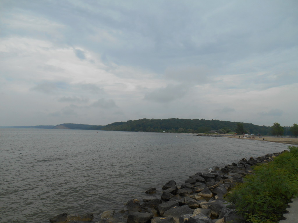
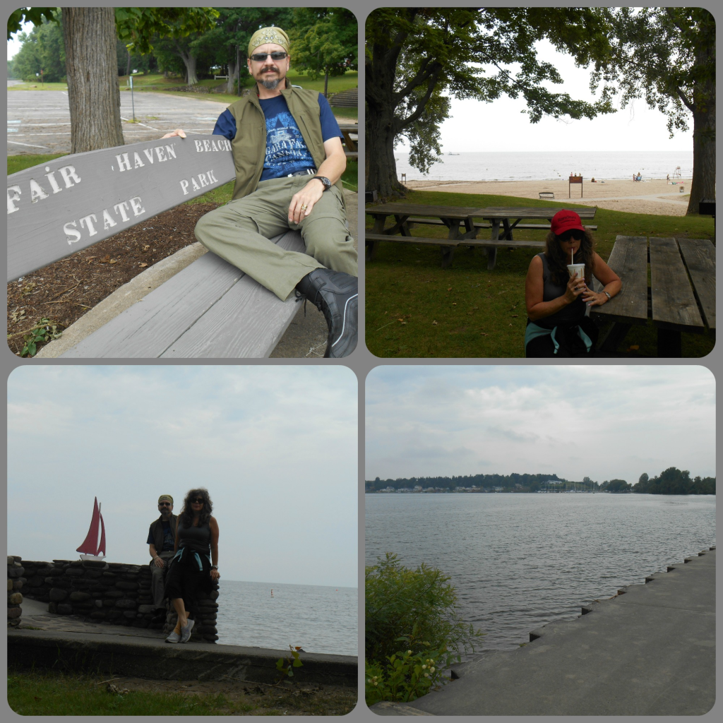
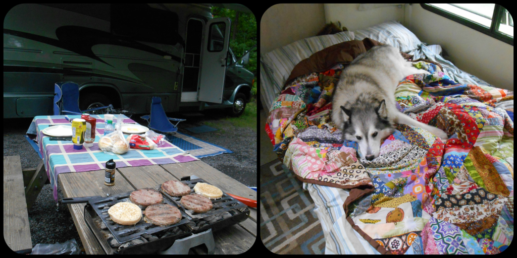
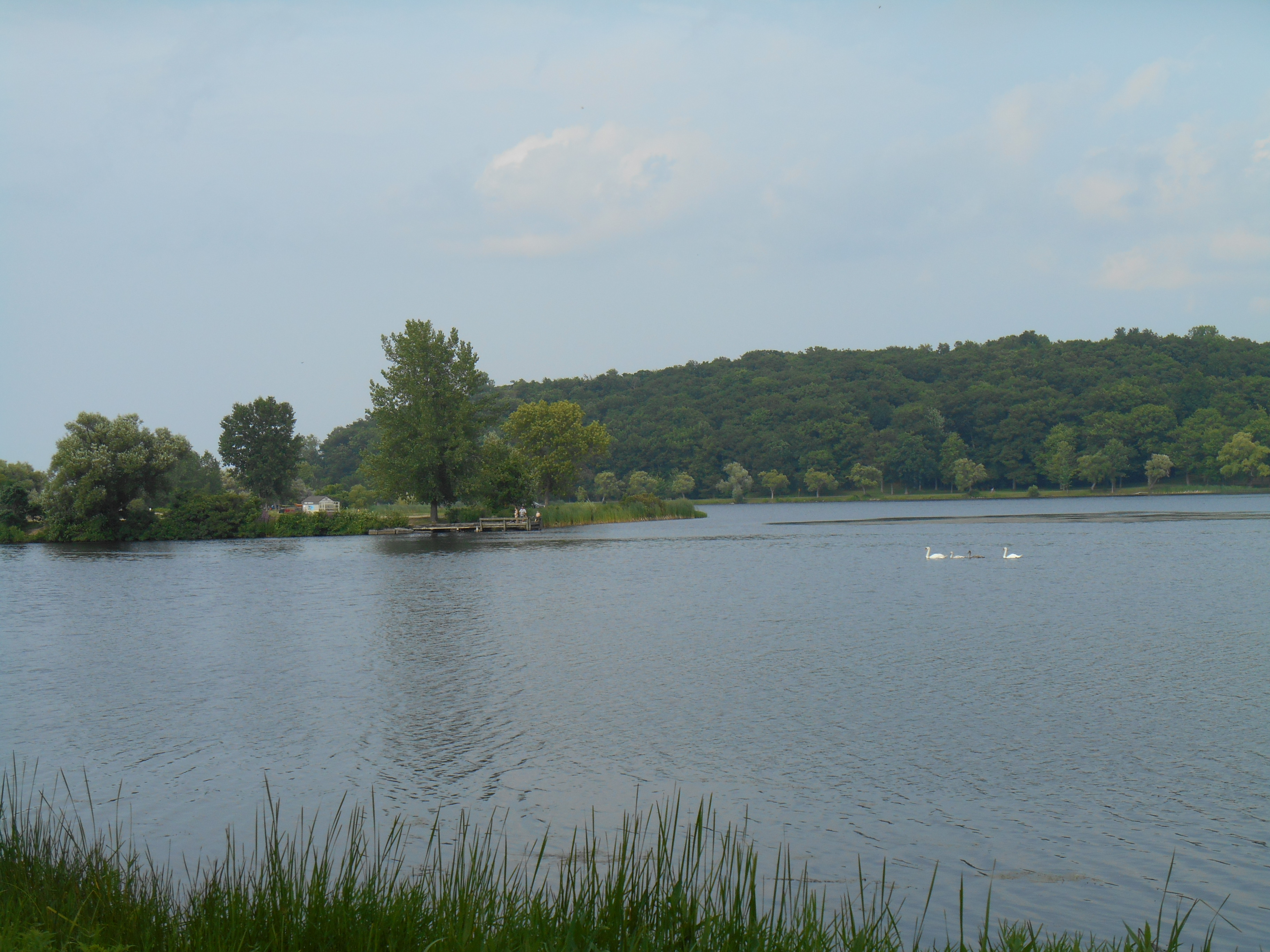
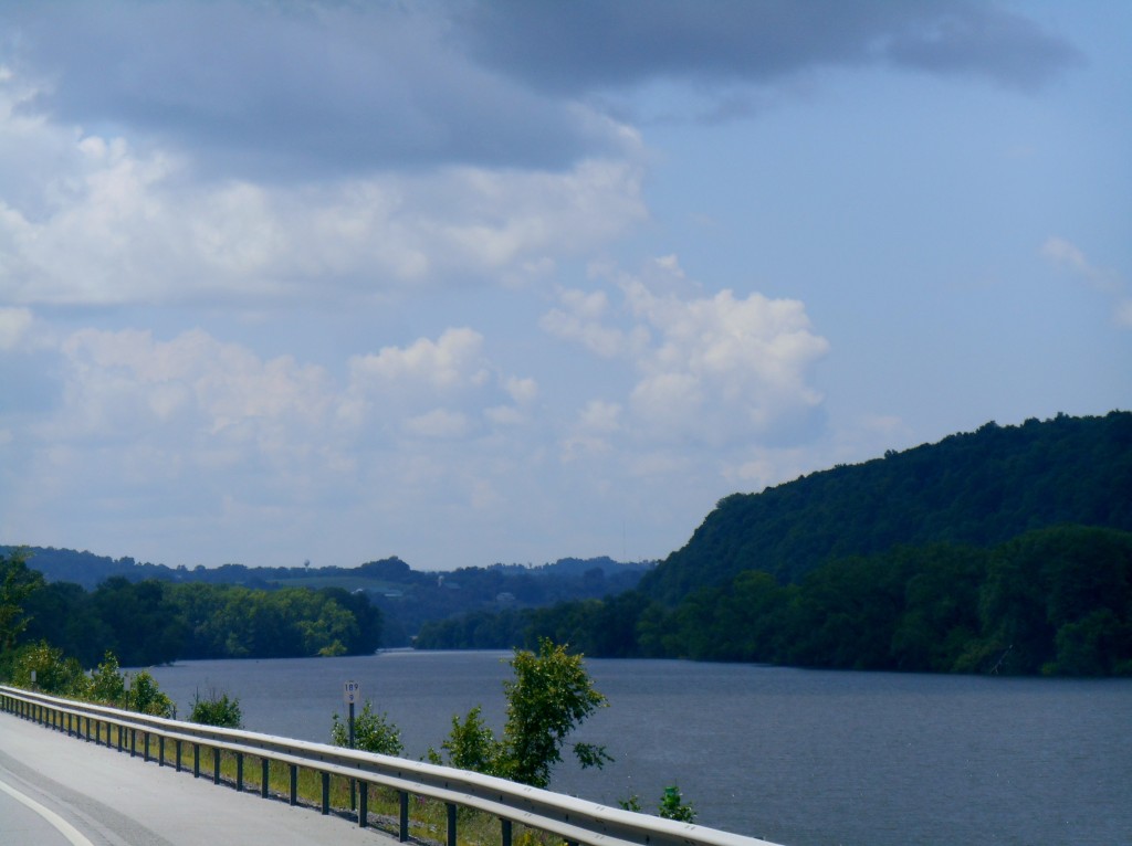
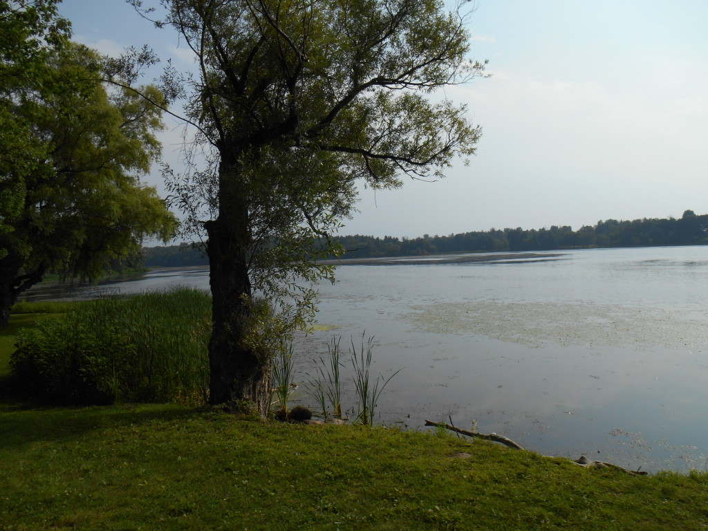
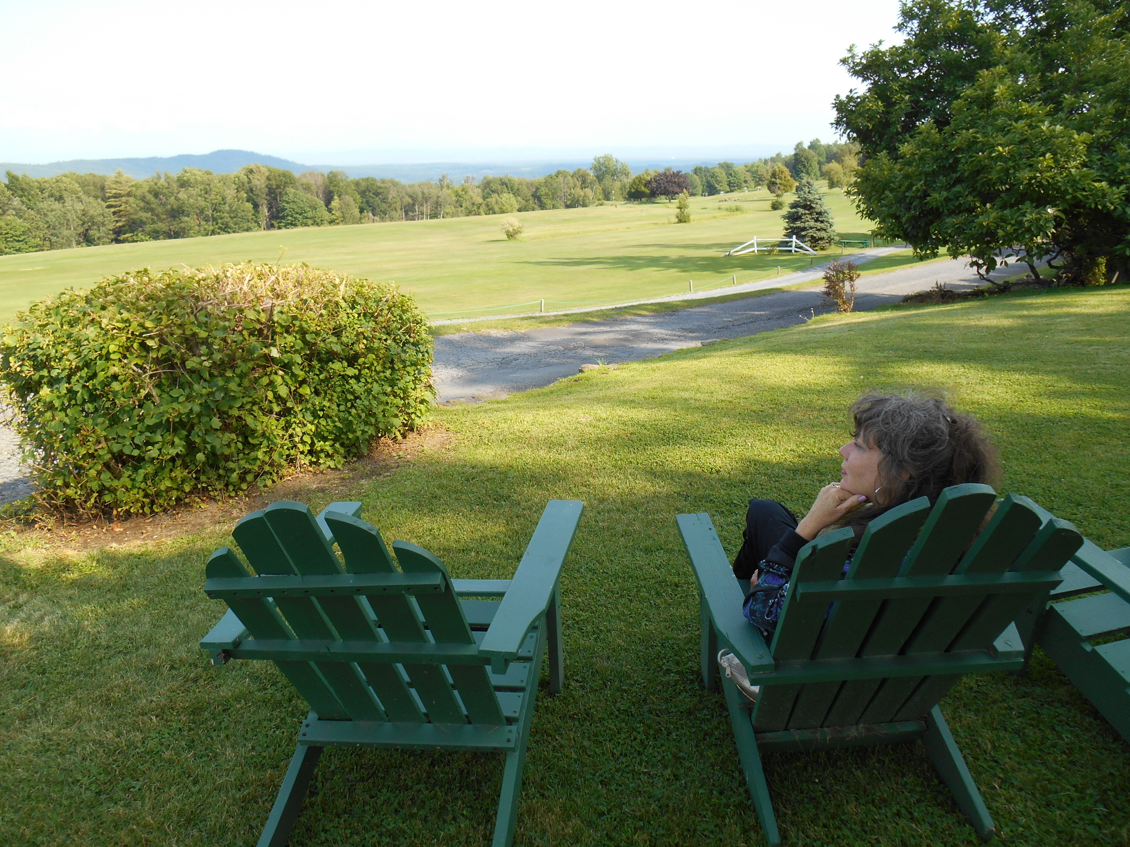
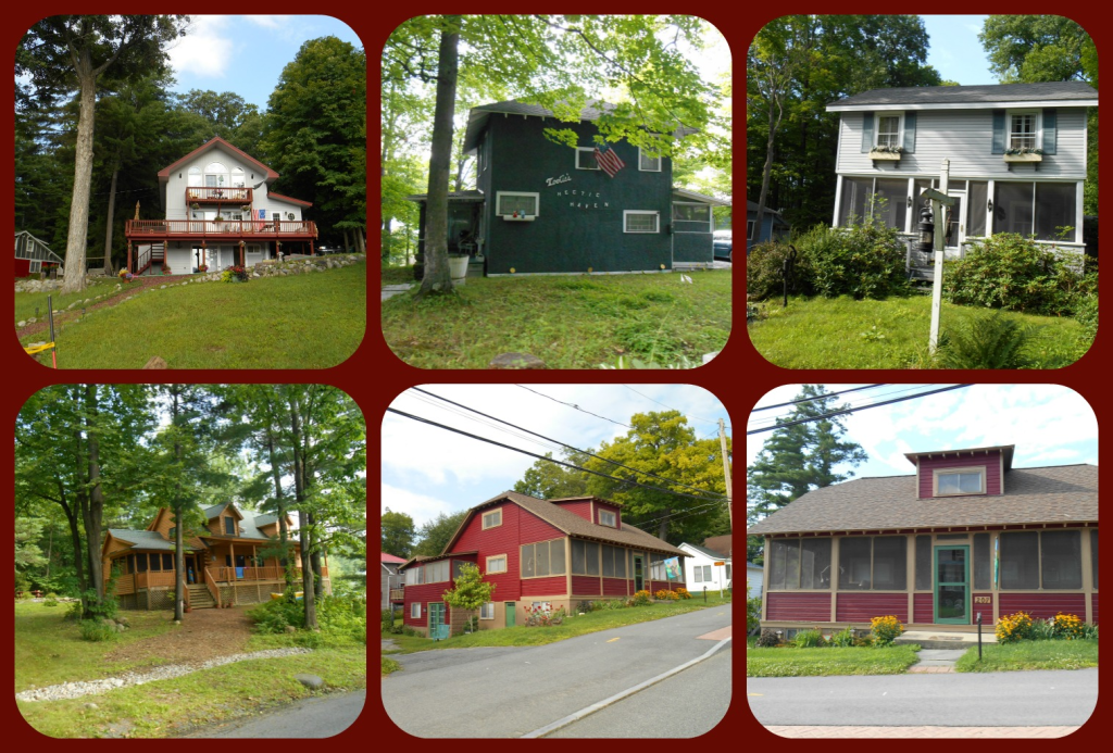
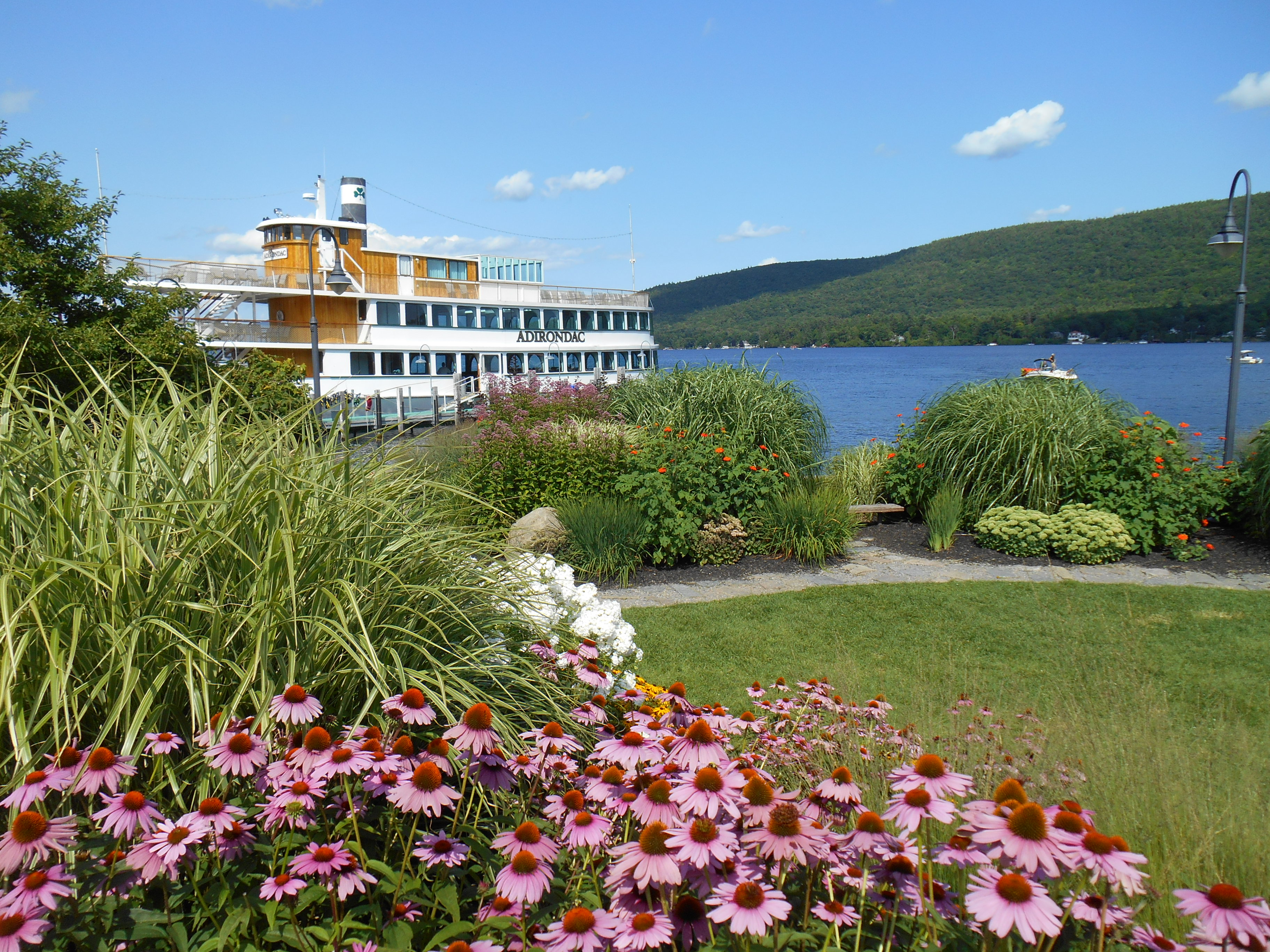
After a weeklong visit in Vermont, we headed west and settled in for a good long drive toward home. It’s a 1000 mile trek, and I looked for an interesting route that would take us home without having to scale too many mountains. We ended up following a course of waterways, starting with the Mohawk River in New York State.
It’s my habit to pick up a road map at every state line we cross. Each Welcome Station has a nice pile of official state maps waiting on the counter. It’s one of the small courtesies still offered to travelers for free. There’s something about a paper map that’s just deeply satisfying – the creases of the paper, the colors of the lines, and the staggering size of the unfolded map. You can see the whole state at once in fabulous detail without having to scroll a tiny electronic screen. A paper map gives you a sense of your place in the state; where you’re going and how far you’ve come. And the detail offered in a paper map just can’t be found anywhere else. Google Maps will happily show where you can spend money, like the closest Starbucks or Arbys. But only the Official State Map will lead you to the Shrine of Saint Kateri.
