 Illinois
View Map
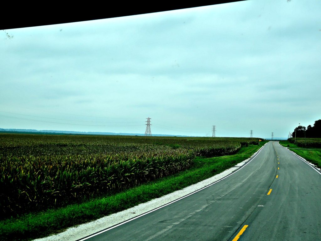
Driving an RV through a major metro city isn’t on the top of my Fun List. So skirting around St. Louis on the secondary county roads was how the day was spent. From Carlyle we pointed north about 175 miles, and got a good look at thousands of acres of corn and the tiny farming towns in between. The roads were straight and smooth, and we made steady miles with hardly any traffic except the occasional tractor puttering from one field to another.
This flat prairie, with its predominant color of drying corn stalks, abruptly turned verdant green as we approached the Illinois River. The corn rows gave way to thick woods and rolling hills along The Great River Road of Illinois.
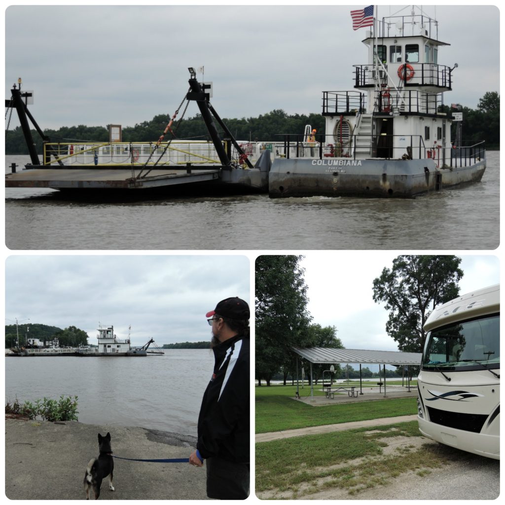
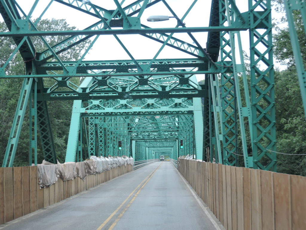
Crossing over the Illinois River we stopped for lunch in Kampsville. There was a swell picnic pavilion with a good view of the free ferry running back and forth across the river. Why the ferry transits here in this one-lane town I’m not sure, unless it’s to avoid the ancient (almost one lane) bridge we crossed in Hardin nine miles downstream. That would be worth avoiding – kinda like St. Louis.


